If you have ever looked at a land listing in North Routt County and thought, “This sounds great, but what does it actually mean?”, you are not alone. Acreage, views, creek frontage, and “utilities nearby” can sound simple on the surface, but land value in this part of Routt County often comes down to access, zoning, topography, and utility reality. This guide will help you read between the lines so you can spot opportunity, avoid surprises, and move forward with more confidence. Let’s dive in.
Why North Routt listings need decoding
In unincorporated Routt County, land is governed by the Routt County Unified Development Code. The county states that all land falls into one of 14 zone districts, each with its own rules for permitted uses, lot area, frontage, setbacks, and height limits. That means a listing headline is never the full story.
Subdivision covenants can add another layer. Routt County notes that these covenants may be more restrictive than county standards, and the county does not monitor or enforce them. For you as a buyer, that means the county rules and any subdivision-specific rules both matter.
This is especially important around Steamboat Lake. The current county code places the Steamboat Lake Subdivisions in a Tier 3 growth area, where new development may be acceptable only if it aligns with the Master Plan, the Upper Elk River Valley Community Plan, and has sufficient access to utilities.
Older lots in that area can be even harder to interpret. The Upper Elk River Valley Community Plan described Steamboat Lake as heavily platted, partly served by water and sewer, and still largely undeveloped because many lots were small and lacked enough utility support for construction. That history helps explain why some listings sound more straightforward than they really are.
Start with zoning and land use
Before you focus on views or price per acre, confirm the parcel’s zone district. Routt County makes clear that each district has its own list of allowed uses and dimensional standards. A parcel may look ideal for your plans, but zoning determines what is actually possible.
This matters whether you want to build now, hold land for the future, or use the property in a limited way at first. A listing may use broad phrases like “great build site” or “ideal mountain retreat,” but those phrases do not replace zoning verification.
If the property is in a subdivision, review covenants too. County standards may allow one thing while subdivision rules narrow your options further. That extra layer can affect building style, use, access, and timing.
Read access language very carefully
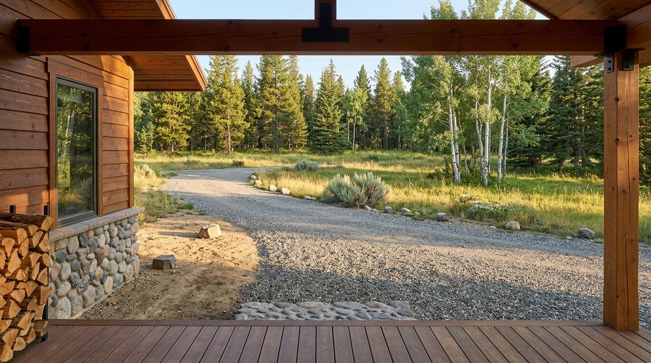
Road access is one of the biggest clues in a North Routt land listing. Routt County maintains about 160 miles of paved roads and 500 miles of graveled roads in winter, but it does not maintain private roads. The county also says some roads receive minimum or no winter maintenance and may be closed during winter months.
That is why phrases like “seasonal access,” “private road,” or “easement access” should make you pause and ask more questions. In North Routt, these are not small details. They can affect whether you can reach the property year-round, how practical winter use may be, and what approvals you may need before building.
Routt County also requires driveway or access permits in many situations. This can include driveways connecting to a county road or privately maintained roads within public right-of-way. If a driveway is longer than 100 feet, fire department approval is required.
For lots accessed by easement, the county says documentation must show legal and feasible access that can meet county access regulations. A listing that mentions an easement may still be workable, but you want proof, not assumptions.
Plain-English access translations
- Seasonal access: The road may not be plowed or reliably passable in winter.
- Private road: Maintenance may fall on owners, not the county.
- Easement access: Access may exist, but you need documentation showing it is legal and feasible.
- Long driveway: You may need additional review, including possible fire department approval.
Gross acreage is not always usable acreage
One of the most common misunderstandings in land listings is assuming that total acreage equals buildable acreage. Routt County defines net lot area as gross lot area minus several constraints, including public right-of-way, private road easements, required waterbody setbacks, land below ordinary high-water marks, floodways, wetlands, and slopes over 30 percent.
In simple terms, a parcel can be large on paper and still have far less usable ground than you expect. This is one reason two properties with similar acreage can have very different value and utility.
Photos can offer helpful clues. If you see steep banks, creek edges, ponds, drainages, retaining walls, or obvious cut-and-fill areas, take a closer look. Those features may affect where, or whether, a future building envelope makes sense.
Routt County’s waterbody-setback checklist also points to the kinds of site features that can shape development potential. The county requires mapping of water bodies, drainages, ditches, wetlands, floodplain, steep slopes, soils, vegetation, wildfire hazards, and critical wildlife habitat as part of that review process.
Listing phrases to translate carefully
- Buildable acreage: Often closer to net lot area than gross acreage.
- Creekfront or near water: Attractive, but setbacks, wetlands, and floodplain can reduce buildable area.
- Gentle slope: Worth confirming with maps and site review, especially on mountain parcels.
Utilities nearby does not mean utilities solved
Utility language in land listings often sounds more certain than it is. In North Routt, “utilities nearby” should be treated as a prompt to verify service, not proof that hookup is legal, available, or simple.
This is particularly important around Steamboat Lake. Because the county’s Tier 3 language ties new development to sufficient access to utilities, nearby service alone does not answer the full question.
For water, Colorado’s Division of Water Resources states that every new well diverting groundwater needs a well permit, and the agency cannot guarantee a permit before completing a full evaluation. For wastewater, Routt County Environmental Health issues permits for on-site wastewater treatment systems, and those permits are valid for one year.
If you see evidence of existing improvements, look closely. A driveway cut, culvert, well house, septic field, power drop, or cleared building area may suggest prior planning or investment. Even then, you still want to verify current permit status and whether those improvements fit your intended use.
Vegetation can affect cost and planning
In North Routt, dense trees and brush can add beauty and privacy, but they also matter from a wildfire planning standpoint. Colorado State Forest Service guidance states that homes in the wildland-urban interface face wildfire risk, and defensible space is a key part of reducing that risk.
The guidance breaks defensible space into zones from 0 to 5 feet, 5 to 30 feet, and 30 to 100 feet around structures. For you, that means heavy timber in listing photos may also signal added mitigation work when the time comes to build.
This does not mean wooded parcels are bad options. It simply means tree cover should be viewed as both an amenity and a planning factor.
A quick translation
- Heavy timber: Scenic and private, but it may also mean more wildfire mitigation planning.
Questions to answer before making an offer
When you are comparing land listings in North Routt County, a few due-diligence questions can quickly separate a promising parcel from a complicated one.
Confirm the zone district
Make sure you know the parcel’s zoning and whether your intended use is allowed by right, allowed through a permit process, or not allowed. County planning tools and maps are the starting point.
Verify legal and practical access
Ask whether the road is county maintained, privately maintained, or only seasonally passable. Also confirm whether the access point or driveway may require county review or fire district approval.
Estimate true usable area
Look beyond total acreage. Ask how setbacks, easements, wetlands, floodplain, and slopes may affect the actual building area.
Check the water and wastewater path
Do not assume that a nearby utility mention solves everything. Verify whether there is a realistic path for a well permit and an on-site wastewater treatment system permit.
Review covenants and subdivision rules
If the parcel is in a platted subdivision, find out whether covenants add restrictions beyond county rules. This step can save you time and frustration later.
Clarify camping or interim use
If a listing suggests camping or temporary use, verify the current permit path. Routt County has an Extended Camping permit with standards that limit permanent structures, dwelling use, and stay duration.
Cross-check county records
Use county tools to compare the listing against parcel maps, property record cards, building and land attributes, sales history, and assessments. In a market like North Routt, those details can make a big difference.
What the best land listings usually have
The clearest North Routt land listings tend to answer the hard questions up front. They usually show believable access, a realistic utility path, terrain that does not erase most of the usable area, and fewer obvious complications tied to setbacks or wildfire mitigation.
That does not mean a more complex parcel is a bad buy. It means the best opportunities often come from understanding what is truly there, what is still unknown, and how those details should shape price and expectations.
When you read a listing with that mindset, you can evaluate land less like marketing copy and more like a real property decision. That is often where confidence begins.
If you are sorting through acreage, lake-area lots, or recreational land in North Routt County, a local, detail-oriented review can help you separate a beautiful listing from a practical opportunity. Mitch Shannon offers thoughtful, appraisal-minded guidance to help you evaluate Routt County property with clarity.
FAQs
What does seasonal access mean in a North Routt County land listing?
- It usually means the road may not be plowed or reliably passable in winter, so year-round access should be verified.
What does buildable acreage mean for land in Routt County?
- It often refers more closely to net usable area after setbacks, easements, wetlands, floodplain, and steep slopes are accounted for.
What should you verify when a North Routt listing says utilities nearby?
- You should confirm whether service is actually available and whether there is a realistic permit path for water and wastewater.
Why do Steamboat Lake area lots need extra review?
- The county places the Steamboat Lake Subdivisions in a Tier 3 growth area, where new development may be acceptable only if it aligns with planning documents and has sufficient utility access.
What does easement access mean for a Routt County parcel?
- It means access may exist, but you should confirm documentation showing that access is legal, feasible, and able to meet county regulations.
Why does tree cover matter when buying land in North Routt County?
- Dense timber can add privacy and mountain character, but it can also affect wildfire mitigation planning around future structures.